Unable to find what you're searching for?
We're here to help you find itPurchase This Course
Scroll to view more course dates
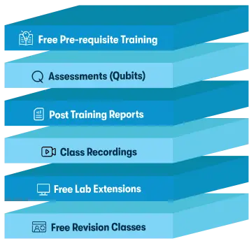
*Inclusions in Koenig's Learning Stack may vary as per policies of OEMs
Autodesk Professional in Civil 3D for Infrastructure Design